

Calgary Neighbourhoods by Commute: Where 15 Minutes Actually Gets You Downtown
TLDR
Every Calgary listing claims to be "minutes from downtown." Some mean it. This guide compares ten inner-city and inner-ring Calgary communities by real commute time — by car, by CTrain or bus, and by bike — and looks at what you actually trade as you move outward from the core. The short version: Calgary's geography is unusually forgiving, and the difference between a 7-minute commute and a 25-minute one is often 30–40% in price per square foot. Read on for the full breakdown, or scroll down to see what's available in each community right now.
Why Commute Time Is the Most Honest Way to Compare Calgary Communities
Community names carry baggage. Some sound expensive, some sound suburban, and neither impression is reliable once you look at a map and a clock.
Commute time cuts through that. It's measurable, it's the single factor most buyers underestimate when they're excited about a home, and it's the one thing you cannot renovate. You can update a kitchen; you cannot move a house closer to your office.
Calgary is also unusually well-suited to this comparison. The downtown core is compact, the river pathway network is genuinely usable for commuting eight months of the year, and the CTrain's Red and Blue lines both run directly through downtown on 7 Avenue. That means several communities well outside the inner city still land inside a 20-minute door-to-desk window.
A note on the numbers below: these are approximate ranges to the downtown core, measured off-peak, and they'll stretch during rush hour — particularly on Deerfoot, Crowchild, and Glenmore. Treat them as a comparison framework, not a guarantee. Your actual commute depends on where downtown you're headed and when you leave.
The Walk-to-Work Tier: Under 10 Minutes
Downtown West End
You're already there. The West End sits at the downtown core's western edge, with its own 7 Avenue CTrain access and the Bow River pathway at your doorstep.
- Car: 5 minutes, or none at all
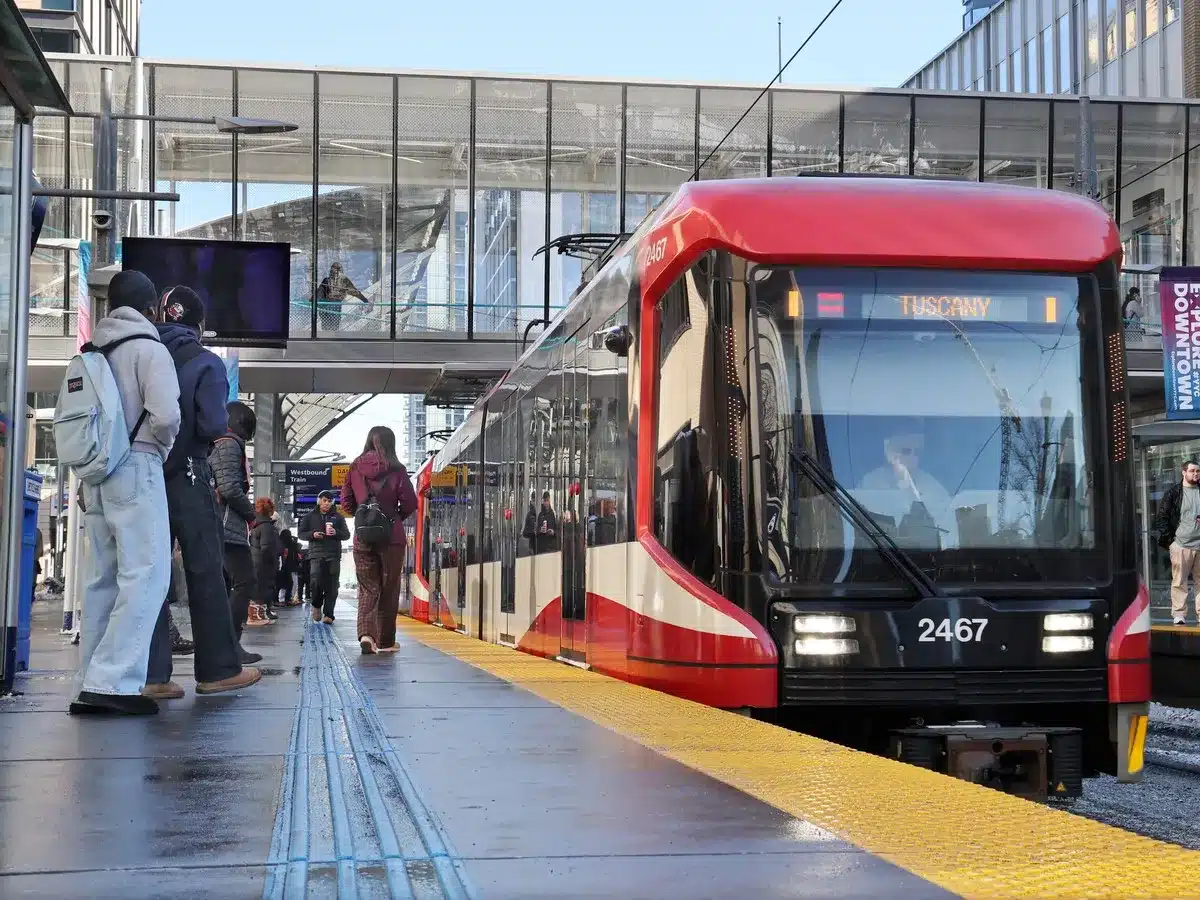
- Transit: 5–10 minutes on the Red or Blue Line
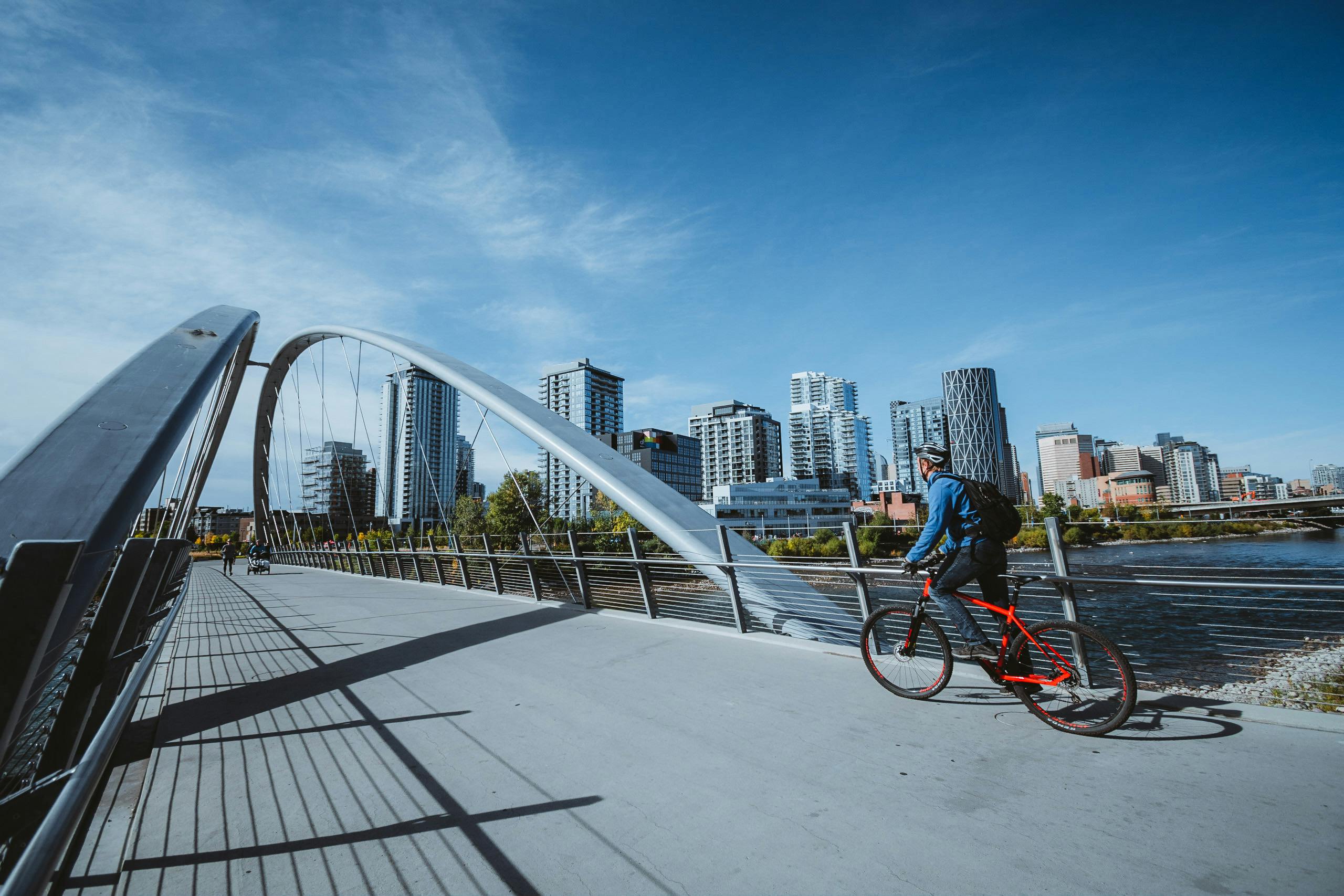
- Bike: 5 minutes, mostly on separated pathway
- Walk: 10–20 minutes to most downtown offices
The trade: you're paying core prices, and you're living in a high-density environment. What you get is the shortest commute in the city and river pathway access most communities would envy.
Beltline
Calgary's densest and most walkable community, sitting immediately south of downtown. Many Beltline residents don't own a car at all.
- Car: 5–10 minutes
- Transit: 10–15 minutes, with C-Train access on 7 Avenue and frequent bus service
- Bike: 5–10 minutes on the 12 Avenue and 5 Street cycle tracks
- Walk: 15–25 minutes depending on where in the Beltline you start
The Beltline is also positioned to gain from the Green Line, which includes a planned Beltline station as part of the downtown segment — though that segment is still in planning, with the southeast leg not expected to open until 2031.
The 10–15 Minute Tier: Inner-City Established
Lower Mount Royal
Tucked immediately south of 17th Avenue, Lower Mount Royal offers the walkability of the Beltline with a quieter residential feel.
- Car: 8–12 minutes
- Transit: 15–20 minutes by bus
- Bike: 8–12 minutes, largely downhill heading north
- Walk: 25–30 minutes
The trade: fewer CTrain options than the Beltline, offset by direct 17th Avenue access and a calmer street environment.
South Calgary and Marda Loop
One of Calgary's most desirable inner-city pockets, sitting on elevated ground south of the Elbow River.
- Car: 10–15 minutes via 14 Street or Crowchild
- Transit: 20–30 minutes by bus
- Bike: 15–20 minutes
- Walk: Not practical for most
The trade: no LRT. What you get instead is Marda Loop's shopping and dining district, more green space, and a neighbourhood feel that the Beltline can't match.
Capitol Hill
An established northwest community with excellent Red Line proximity via the Lions Park and Banff Trail stations.
- Car: 10–15 minutes down 14 Street or Crowchild
- Transit: 20–25 minutes including the walk to the station
- Bike: 15–20 minutes
- Walk: Not practical
The trade: you're further from the 17th Avenue action, but you gain larger lots, mature trees, and proximity to SAIT, U of C, and Confederation Park.
Spruce Cliff
Frequently underestimated. Spruce Cliff sits on the Blue Line via the Westbrook and Shaganappi Point stations, which puts downtown genuinely close by transit.
- Car: 10–15 minutes via Bow Trail
- Transit: 15–20 minutes on the Blue Line
- Bike: 15–20 minutes, much of it on the Bow River pathway
- Walk: Not practical
One correction worth making: the West LRT that serves Spruce Cliff isn't new — it opened in 2012. It's frequently described as "the new LRT" in listing copy, which understates how long this transit advantage has been established. The trade here is a quieter, greener setting with golf course and Edworthy Park access at a price point well below comparable inner-city communities.
The 15–25 Minute Tier: Inner Ring
Southview
An established southeast community with quick Deerfoot and International Avenue access.
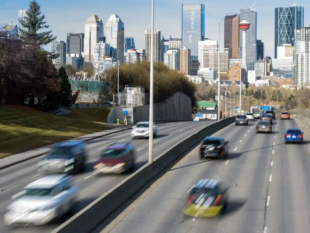
- Car: 15–20 minutes
- Transit: 25–35 minutes by bus
- Bike: 20–25 minutes, partly on the Bow River pathway
The trade: no LRT and a longer drive, in exchange for detached homes on large lots at prices that don't exist inside the inner city.
Dover
Immediately adjacent to Southview, with similar access and one of the more affordable entry points into southeast Calgary.
- Car: 15–20 minutes
- Transit: 30–40 minutes by bus
- Bike: 25–30 minutes
The trade: the longest transit time in this tier, offset by strong value per square foot and quick access to Deerfoot, Peigan, and Stoney Trail — which matters if your work isn't downtown at all.
West Springs
A newer Westside community with a walkable retail main street of its own along Broadcast Avenue.
- Car: 20–25 minutes via Bow Trail or 17 Avenue
- Transit: 30–40 minutes, typically a bus connection to the Blue Line at 69 Street
- Bike: 35–45 minutes
The trade: the commute is real, but so is the payoff — mountain access via Stoney Trail, top-rated schools, newer construction, and a genuine neighbourhood centre. Plenty of West Springs residents don't commute downtown at all.
Beddington Heights
An established northwest community with Centre Street and Deerfoot access.
- Car: 20–25 minutes
- Transit: 30–40 minutes, largely by bus
- Bike: 35–45 minutes
The trade: the longest drive on this list, in exchange for detached and semi-detached homes with suite potential at price points that make the math work for first-time buyers.
What You Actually Trade: Price Per Square Foot vs. Minutes
The pattern across Calgary is consistent, and it's worth understanding before you start touring:
- Core communities (Downtown West End, Beltline) command the highest price per square foot and deliver the shortest commutes. You buy time, and you pay for it in square footage.
- Inner-city established communities (Lower Mount Royal, South Calgary, Capitol Hill) sit at a modest discount to the core with commutes still under 15 minutes by car. Often the best balance for buyers who value both.
- Transit-advantaged pockets (Spruce Cliff) are where the value tends to hide — an LRT-connected community priced closer to inner-ring communities than to the inner city.
- Inner-ring communities (Southview, Dover, Beddington Heights, West Springs) trade 10–15 extra minutes for meaningfully more space, and often for detached housing or suite potential that the core simply can't offer at any comparable price.
The practical question isn't "which is cheapest per square foot" — it's how much you'll actually use the difference. A buyer working downtown five days a week values those 15 minutes very differently than a hybrid worker commuting twice a week, or someone whose office is in the Quarry Park or Stoney Trail employment corridors.
Price per square foot moves month to month and varies significantly by property type within every one of these communities. If you want current figures for a specific community or comparison, reach out — I can pull the latest CREB data for your situation rather than relying on a number that may already be out of date by the time you read this. You can also review our Calgary market statistics any time.
What's Available Along the Commute Spectrum Right Now
A snapshot from our current featured listings, moving outward from the core:
- Downtown West End — a high-floor condo with south-facing city views and two balconies, plus a resort-style amenity package. Browse more downtown Calgary condos.
- Beltline — a 22nd-floor unit at Keynote with panoramic downtown and mountain views, steps from the C-Train and Sunterra Market.
- Lower Mount Royal — a refreshed 2-bed in a concrete building two blocks off 17th Avenue, with sauna access and assigned parking.
- South Calgary — a ground-floor condo near Marda Loop with a 200 sq. ft. private terrace and BBQ gas line.
- Capitol Hill — a full 50-foot inner-city lot with income from both levels, minutes from Confederation Park and the Red Line.
- Spruce Cliff — a bright 2-bed overlooking Shaganappi Golf Course, close to Edworthy Park and Blue Line access.
- West Springs — a 2-bed, 2.5-bath residence with two ensuites and a 32-foot balcony, steps from Broadcast Avenue. See more SW Calgary homes.
- Southview — a 4-bed bungalow on a pie-shaped lot with a finished basement and mature backyard.
- Dover — an upgraded 2-bed condo with a private patio and two titled underground parking stalls.
- Beddington Heights — an updated bi-level with a legal basement suite and two full kitchens.
Reach out any time for full details or a private showing on any of these.
How to Test a Commute Before You Buy
Three steps that take an hour and save years of frustration:
- Drive it at your actual commute time. Not on a Sunday afternoon. Tuesday at 8:00 a.m. tells you something Sunday can't.
- Ride the transit route end to end. Include the walk to the station, the wait, and the walk at the other end — that's the real number, not the in-vehicle time.
- Check winter conditions. Calgary's bike commuting is excellent from April through October and considerably harder in January. If you're counting on the bike, be honest about how many months you'll actually use it.
Our buyer's guide covers the wider search and offer process, and you can browse all Calgary communities to compare in more detail.
FAQ: Calgary Commute Times and Neighbourhoods
Which Calgary neighbourhoods are closest to downtown? The Downtown West End and Beltline are the closest, both within a 5–10 minute drive and walkable for many residents. Lower Mount Royal, South Calgary, Capitol Hill, and Spruce Cliff all sit within roughly 10–15 minutes by car.
What's the best Calgary neighbourhood for commuting without a car? The Beltline and Downtown West End are the strongest car-free options, with walkability, CTrain access on 7 Avenue, and dense bus service. Spruce Cliff and Capitol Hill are strong second-tier choices thanks to direct Blue Line and Red Line access respectively.
How long is the commute from West Springs to downtown Calgary? Roughly 20–25 minutes by car off-peak, longer during rush hour. By transit, expect 30–40 minutes including a bus connection to the Blue Line at 69 Street.
Does Spruce Cliff have LRT access? Yes — Spruce Cliff is served by the Blue Line via the Westbrook and Shaganappi Point stations, which opened with the West LRT extension in 2012. Downtown is roughly 15–20 minutes by train.
When will the Green Line open, and which communities does it serve? Construction on the southeast segment began in 2025 and it's expected to open in 2031, running from Shepard to the future Event Centre/Grand Central Station. The downtown segment, which includes a planned Beltline station, is still in planning and design.
Is it cheaper to live further from downtown Calgary? Generally yes on a price-per-square-foot basis, though the relationship isn't linear. Transit-connected communities like Spruce Cliff often price closer to inner-ring communities than to the inner city, which is where value tends to hide.
How much does commute time affect Calgary home prices? Meaningfully, but not uniformly — property type, lot size, building age, and community amenities all interact with location. Two communities with identical commute times can price very differently based on what else they offer.
Is biking to work realistic in Calgary? For much of the year, yes. Calgary's river pathway network and downtown cycle tracks make bike commuting practical from roughly April through October for inner-city and inner-ring communities. Winter commuting is done by a committed minority.
Which Calgary community offers the best balance of commute and space? It depends on your priorities, but inner-city communities like South Calgary, Capitol Hill, and Spruce Cliff tend to hit the sweet spot — commutes under 15 minutes with meaningfully more space than the core.
Have a question about a specific community or commute that isn't covered here? Reach out — I'm happy to walk through the specifics of your situation.
Trying to figure out which Calgary community fits your commute and your budget? I'd love to walk you through the options.
JESSE DAVIES | Realtor® | JD Real Estate
Century 21 Bamber Realty Ltd.
403-969-2363 | jdrealestatecalgary.ca
jesse@jessedavies.ca
The people behind every successful move.
Follow the Jesse Davies Team for Calgary listings, local market insight and a closer look at the REALTORS® working behind every transaction.